Construction & Real Estate


Detect objects, changes and events anywhere on Earth.
Know the moment when to act.
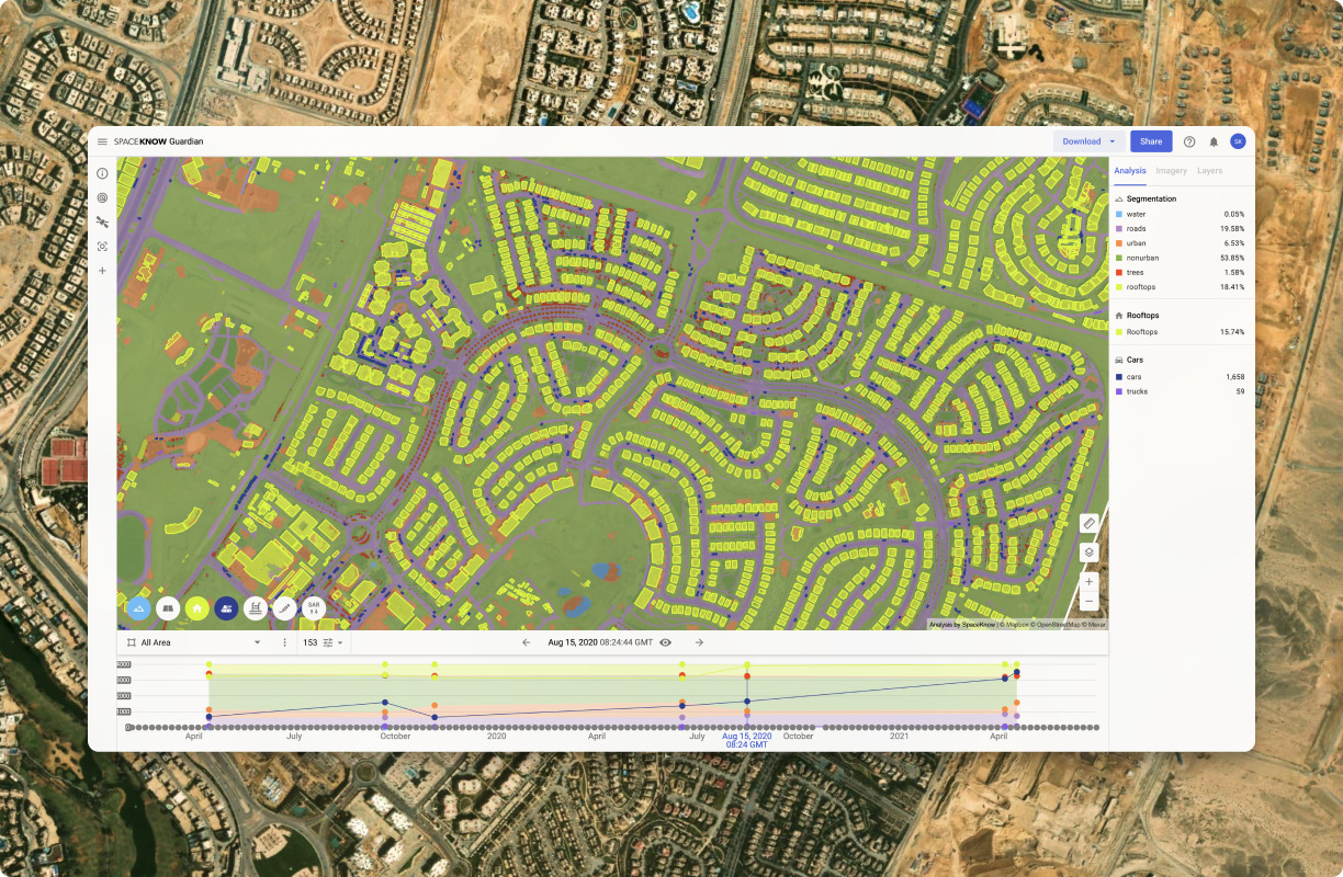
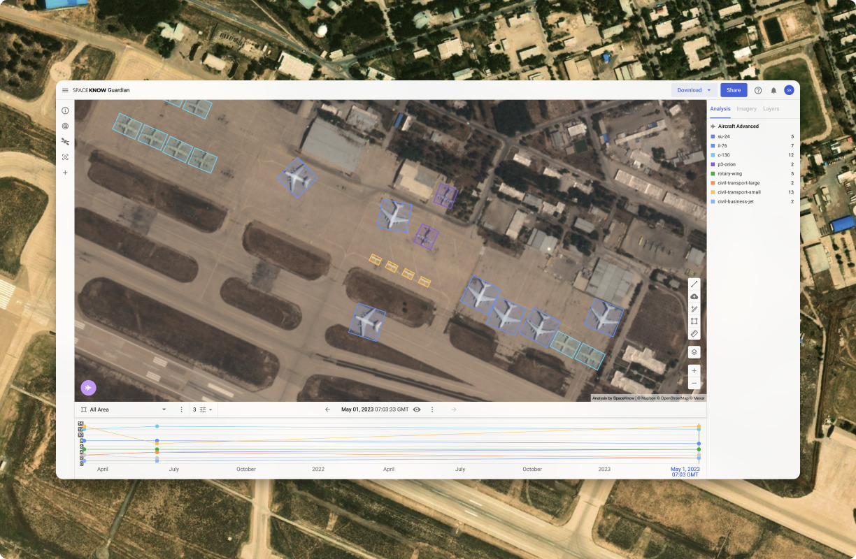
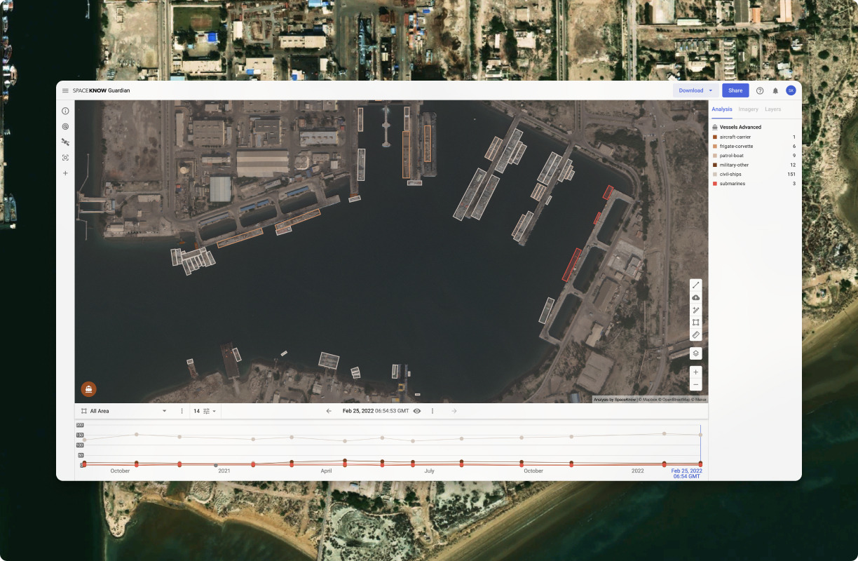
SpaceKnow Guardian® seamlessly fuses optical, SAR, and AIS feeds to automate continuous surveillance. Powered by proprietary computer vision and LLM agents, Guardian extracts critical insights from raw pixels and converts global activity into automated, actionable notifications.
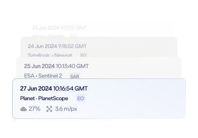
Multi-source optical and SAR imagery
Guardian works with imagery from multiple independent satellite providers. When one source is limited by weather or orbit, the same analysis continues on another.
Proprietary detection algorithms
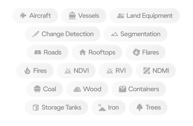
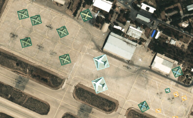
Guardian detects and classifies ships, aircraft, land equipment and infrastructure, down to a specific model where resolution allows. Each detection comes with coordinates and an acquisition date, on imagery your analysts can inspect.
Continuous monitoring at any resolution
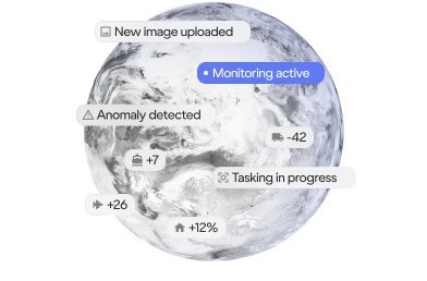
Guardian watches your areas of interest on widely available mid-resolution imagery and flags change automatically. When something changes, switch to high resolution and inspect it in detail. Monitor → Detect → Track → Alert.
Solutions powered by SpaceKnow Guardian®
Defense & Intelligence
Maritime domain awareness, military site monitoring, shadow fleet tracking and battle damage assessment from optical and SAR imagery.
Construction Monitoring
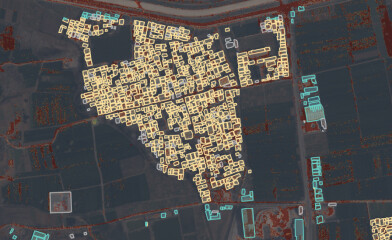
Progress and site activity on large construction projects and critical infrastructure, including data centers, measured from orbit.
